


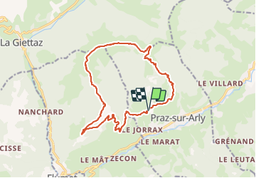

10.2 km | 17.6 km-effort

User


FREE GPS app for hiking
 SityTrail
IGN / Geographical institutes
SityTrail World
The world is yours!
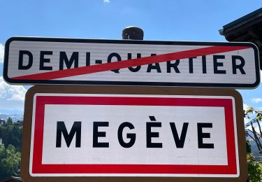
Trail Walking of 18 km to be discovered at Auvergne-Rhône-Alpes, Upper Savoy, Praz-sur-Arly. This trail is proposed by flip38.
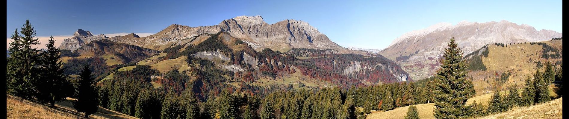
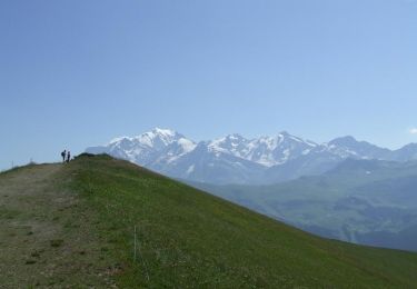
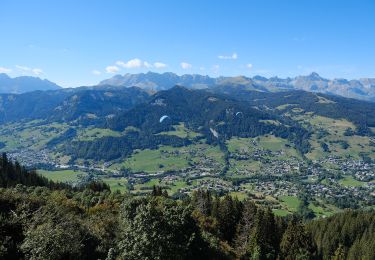
Jolie boucle vers ce sommet très panoramique entre chaîne des Aravis et le Mont Blanc.
Le télésiège au sommet est peu gênant et vous aurez du coup de nombreuses tables pour pique-niquer.
D'autres informations sur mon site : http://surlessommets.blog.free.fr/


Walking
Walking

Walking

Walking

Other activity

Walking
Walking
Walking
On foot