


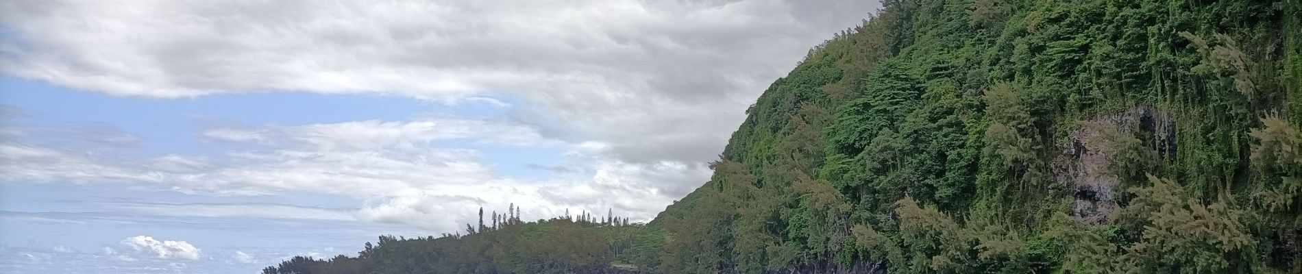
La source Anse des Cascades

Roulland
User
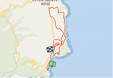

Length
12.7 km

Max alt
174 m

Uphill gradient
318 m
Km-Effort
17.1 km

Min alt
11 m

Downhill gradient
359 m
Boucle
No
Creation date :
2021-10-31 05:47:15.172
Updated on :
2021-10-31 10:35:36.532
3h18
Difficulty : Medium

FREE GPS app for hiking
 SityTrail
IGN / Geographical institutes
SityTrail Plus
The world is yours!
About
Trail Walking of 12.7 km to be discovered at Réunion, Unknown, Sainte-Rose. This trail is proposed by Roulland.
Description
Rando comportant une partie envahie par la végétation...
Photos


Positioning
Country:
France
Region :
Réunion
Department/Province :
Unknown
Municipality :
Sainte-Rose
Location:
Unknown
Start:(Dec)
Start:(UTM)
377883 ; 7656049 (40K) S.
Comments