


Fort Mahon

phugues
User

Length
22 km

Max alt
15 m

Uphill gradient
78 m
Km-Effort
23 km

Min alt
2 m

Downhill gradient
78 m
Boucle
Yes
Creation date :
2021-10-31 12:49:14.041
Updated on :
2021-10-31 14:26:09.709
1h36
Difficulty : Easy

FREE GPS app for hiking
 SityTrail
IGN / Geographical institutes
SityTrail Plus
The world is yours!
About
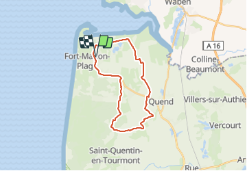
Trail Mountain bike of 22 km to be discovered at Hauts-de-France, Somme, Fort-Mahon-Plage. This trail is proposed by phugues.
Positioning
Country:
France
Region :
Hauts-de-France
Department/Province :
Somme
Municipality :
Fort-Mahon-Plage
Location:
Unknown
Start:(Dec)
Start:(UTM)
398358 ; 5577882 (31U) N.
Comments