


Liard saint Robert belle mare

sameja
User
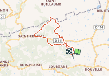

Length
9.4 km

Max alt
88 m

Uphill gradient
188 m
Km-Effort
11.9 km

Min alt
21 m

Downhill gradient
188 m
Boucle
Yes
Creation date :
2021-10-30 09:48:44.0
Updated on :
2021-10-31 17:52:54.469
1h55
Difficulty : Medium

FREE GPS app for hiking
 SityTrail
IGN / Geographical institutes
SityTrail Plus
The world is yours!
About
Trail Nordic walking of 9.4 km to be discovered at Guadeloupe, Unknown, Sainte-Anne. This trail is proposed by sameja.
Description
La boucle Ste Anne
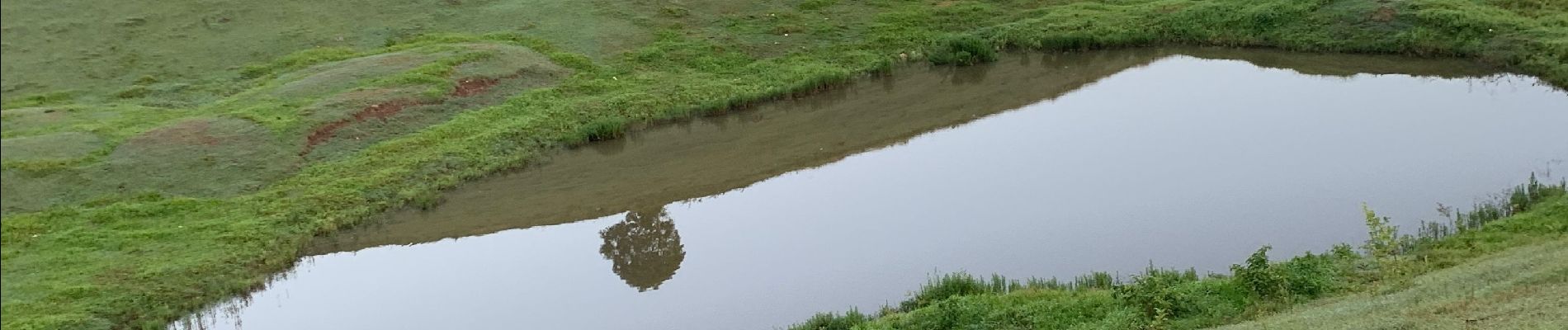
Photos


Positioning
Country:
France
Region :
Guadeloupe
Department/Province :
Unknown
Municipality :
Sainte-Anne
Location:
Unknown
Start:(Dec)
Start:(UTM)
672410 ; 1799149 (20Q) N.
Comments