


argelliers

jeanfcd
User
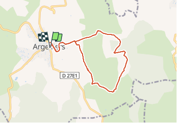

Length
8 km

Max alt
237 m

Uphill gradient
130 m
Km-Effort
9.8 km

Min alt
170 m

Downhill gradient
132 m
Boucle
Yes
Creation date :
2021-11-01 12:37:40.045
Updated on :
2021-11-01 15:14:32.183
1h52
Difficulty : Very easy

FREE GPS app for hiking
 SityTrail
IGN / Geographical institutes
SityTrail Plus
The world is yours!
About
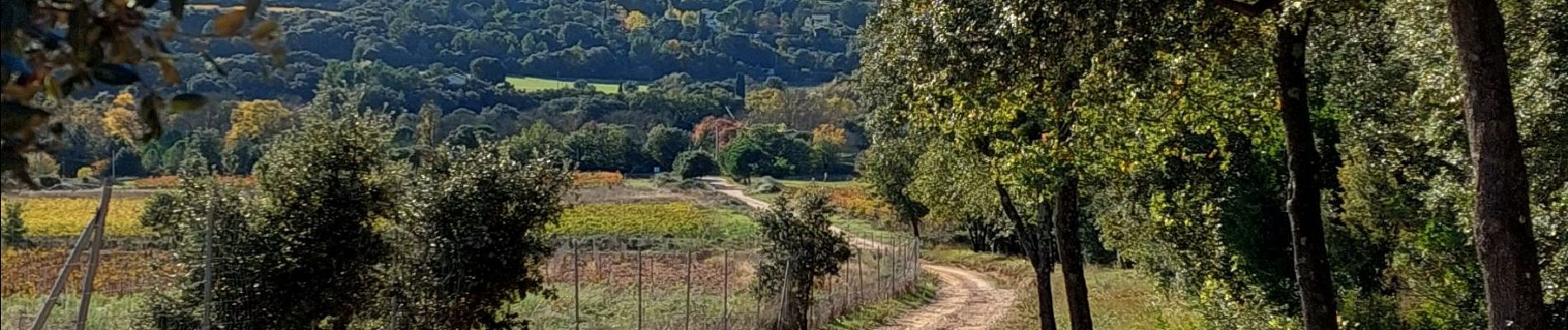
Trail Walking of 8 km to be discovered at Occitania, Hérault, Argelliers. This trail is proposed by jeanfcd.
Photos


Positioning
Country:
France
Region :
Occitania
Department/Province :
Hérault
Municipality :
Argelliers
Location:
Unknown
Start:(Dec)
Start:(UTM)
554329 ; 4838655 (31T) N.
Comments