


Ales reco

BERNADETTE MONEY
User
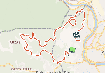

Length
14.2 km

Max alt
367 m

Uphill gradient
378 m
Km-Effort
19.7 km

Min alt
136 m

Downhill gradient
512 m
Boucle
No
Creation date :
2021-11-05 10:00:03.652
Updated on :
2021-11-05 15:13:10.633
4h35
Difficulty : Very difficult

FREE GPS app for hiking
 SityTrail
IGN / Geographical institutes
SityTrail Plus
The world is yours!
About
Trail Walking of 14.2 km to be discovered at Occitania, Gard, Alès. This trail is proposed by BERNADETTE MONEY.
Positioning
Country:
France
Region :
Occitania
Department/Province :
Gard
Municipality :
Alès
Location:
Unknown
Start:(Dec)
Start:(UTM)
585045 ; 4886175 (31T) N.
Comments