


2021-11-11 Lever Soleil Donon et Lac de la Maix

holtzv
User GUIDE
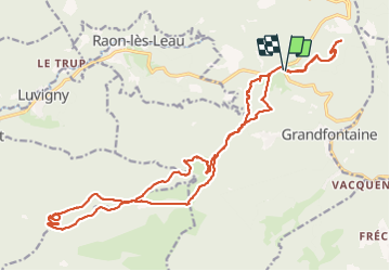

Length
24 km

Max alt
996 m

Uphill gradient
814 m
Km-Effort
35 km

Min alt
683 m

Downhill gradient
811 m
Boucle
Yes
Creation date :
2021-11-11 05:39:36.325
Updated on :
2021-11-11 14:30:35.405
6h29
Difficulty : Very difficult

FREE GPS app for hiking
 SityTrail
IGN / Geographical institutes
SityTrail Plus
The world is yours!
About
Trail Walking of 24 km to be discovered at Grand Est, Bas-Rhin, Grandfontaine. This trail is proposed by holtzv.
Positioning
Country:
France
Region :
Grand Est
Department/Province :
Bas-Rhin
Municipality :
Grandfontaine
Location:
Unknown
Start:(Dec)
Start:(UTM)
363170 ; 5374265 (32U) N.
Comments