


Tour du Rocher de Comboire + AR Allée de la Balme au départ du terminus du tram C

Emelle
User


3h49
Difficulty : Easy

FREE GPS app for hiking
 SityTrail
IGN / Geographical institutes
SityTrail Plus
The world is yours!
About
Trail Nordic walking of 11.6 km to be discovered at Auvergne-Rhône-Alpes, Isère, Seyssins. This trail is proposed by Emelle.
Description
Echauffements et étirements compris dans le temps total
Echauffements faits le long de la piste cyclable
Etirements en fin de parcours dans le parc François Miterrand de Seyssins.
Une petite erreur sur 50 m au km 4 rectifiée.
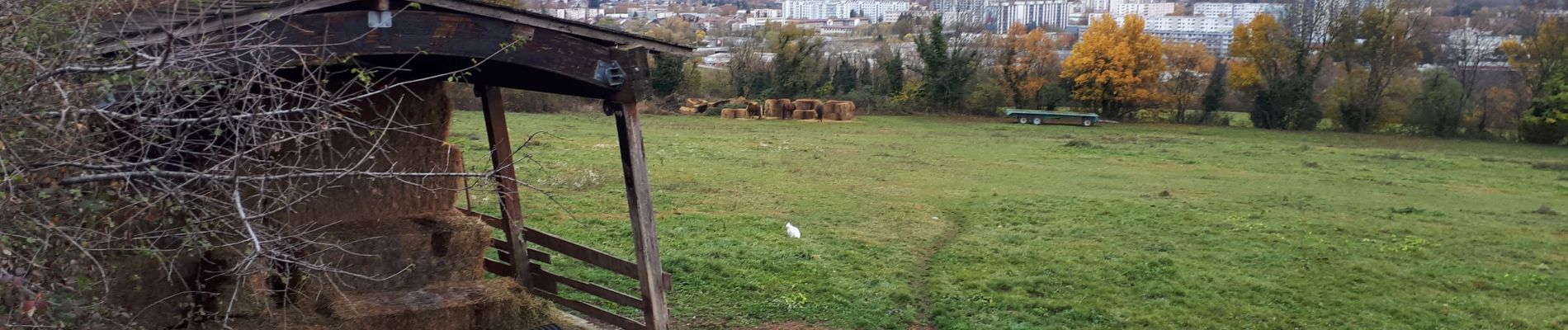
Photos

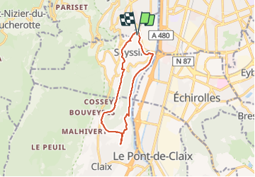
Positioning
Comments