


Valliguieres Luc

Dan30
User
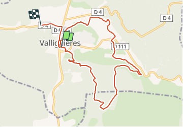

Length
10.8 km

Max alt
200 m

Uphill gradient
181 m
Km-Effort
13.1 km

Min alt
121 m

Downhill gradient
161 m
Boucle
No
Creation date :
2021-11-18 12:56:32.622
Updated on :
2021-11-18 16:10:55.86
2h23
Difficulty : Easy

FREE GPS app for hiking
 SityTrail
IGN / Geographical institutes
SityTrail Plus
The world is yours!
About
Trail Walking of 10.8 km to be discovered at Occitania, Gard, Valliguières. This trail is proposed by Dan30.
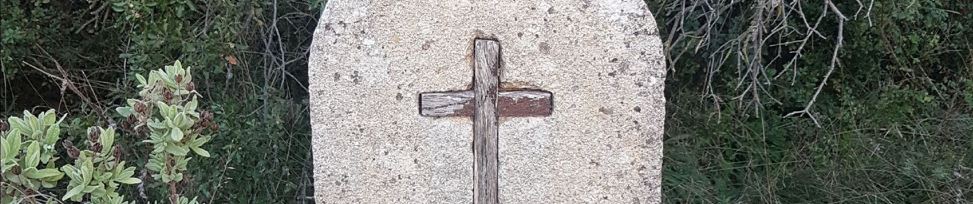
Photos


Positioning
Country:
France
Region :
Occitania
Department/Province :
Gard
Municipality :
Valliguières
Location:
Unknown
Start:(Dec)
Start:(UTM)
626585 ; 4873695 (31T) N.
Comments