


Mont verdun

maclobar
User
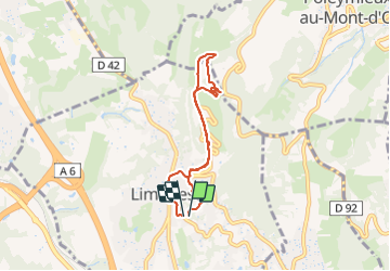

Length
6.4 km

Max alt
598 m

Uphill gradient
222 m
Km-Effort
9.4 km

Min alt
376 m

Downhill gradient
238 m
Boucle
Yes
Creation date :
2021-11-21 12:54:16.562
Updated on :
2021-11-21 20:07:50.541
2h10
Difficulty : Medium

FREE GPS app for hiking
 SityTrail
IGN / Geographical institutes
SityTrail Plus
The world is yours!
About
Trail Walking of 6.4 km to be discovered at Auvergne-Rhône-Alpes, Métropole de Lyon, Limonest. This trail is proposed by maclobar.
Description
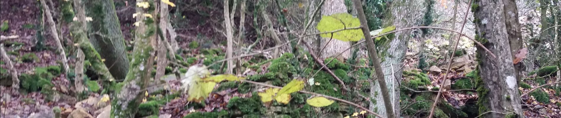
Beau circuit dans les bois
Photos


Positioning
Country:
France
Region :
Auvergne-Rhône-Alpes
Department/Province :
Métropole de Lyon
Municipality :
Limonest
Location:
Unknown
Start:(Dec)
Start:(UTM)
637826 ; 5077053 (31T) N.
Comments