


20211123 Benodet Foret de Resvourouet

Childebert
User
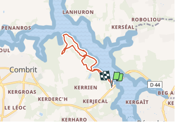

Length
5.7 km

Max alt
29 m

Uphill gradient
72 m
Km-Effort
6.6 km

Min alt
0 m

Downhill gradient
72 m
Boucle
Yes
Creation date :
2021-11-23 13:37:05.101
Updated on :
2021-11-23 15:31:57.688
1h54
Difficulty : Medium

FREE GPS app for hiking
 SityTrail
IGN / Geographical institutes
SityTrail Plus
The world is yours!
About
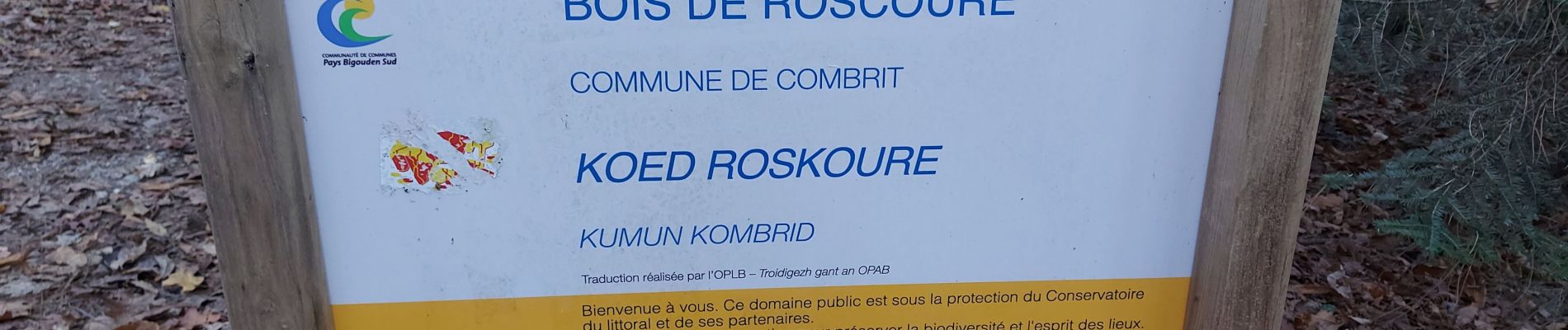
Trail Walking of 5.7 km to be discovered at Brittany, Finistère, Combrit. This trail is proposed by Childebert.
Photos


Positioning
Country:
France
Region :
Brittany
Department/Province :
Finistère
Municipality :
Combrit
Location:
Unknown
Start:(Dec)
Start:(UTM)
415901 ; 5303922 (30T) N.
Comments