


11133234-chemin du coq_jul-2017_openrunner

Nordic33
User GUIDE
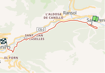

Length
6 km

Max alt
1778 m

Uphill gradient
143 m
Km-Effort
8.6 km

Min alt
1530 m

Downhill gradient
354 m
Boucle
No
Creation date :
2021-11-24 11:56:33.723
Updated on :
2021-11-24 14:40:43.373
1h57
Difficulty : Medium

FREE GPS app for hiking
 SityTrail
IGN / Geographical institutes
SityTrail Plus
The world is yours!
About
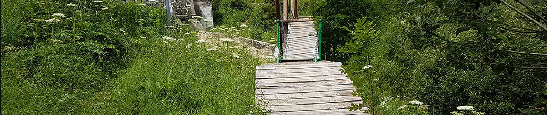
Trail Walking of 6 km to be discovered at Andorra. This trail is proposed by Nordic33.
Description
Enregistré en juillet 2017 Modifié avec openrunner.
Photos


23 photos in total. Please click on a photo to see them all in the gallery.
Positioning
Country:
Andorra
Region :
Unknown
Department/Province :
Unknown
Municipality :
Unknown
Location:
Unknown
Start:(Dec)
Start:(UTM)
389221 ; 4714629 (31T) N.
Comments