


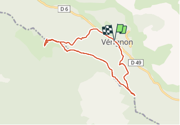
Chapelles de Verignon

aljac
User

Length
8.6 km

Max alt
1074 m

Uphill gradient
371 m
Km-Effort
13.6 km

Min alt
828 m

Downhill gradient
367 m
Boucle
Yes
Creation date :
2021-11-24 09:29:06.198
Updated on :
2021-11-24 13:45:53.822
4h16
Difficulty : Easy

FREE GPS app for hiking
 SityTrail
IGN / Geographical institutes
SityTrail Plus
The world is yours!
About
Trail Walking of 8.6 km to be discovered at Provence-Alpes-Côte d'Azur, Var, Vérignon. This trail is proposed by aljac.
Positioning
Country:
France
Region :
Provence-Alpes-Côte d'Azur
Department/Province :
Var
Municipality :
Vérignon
Location:
Unknown
Start:(Dec)
Start:(UTM)
280084 ; 4837031 (32T) N.
Comments