


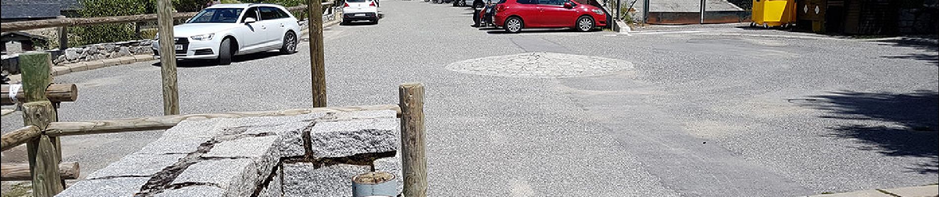
Andorre-lac-d-Angolaster-11-juil-2017

Nordic33
User GUIDE
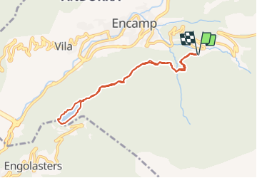

Length
7.8 km

Max alt
1672 m

Uphill gradient
174 m
Km-Effort
10.1 km

Min alt
1614 m

Downhill gradient
173 m
Boucle
Yes
Creation date :
2021-11-25 08:28:07.491
Updated on :
2021-11-25 08:59:31.687
2h18
Difficulty : Medium

FREE GPS app for hiking
 SityTrail
IGN / Geographical institutes
SityTrail Plus
The world is yours!
About
Trail Walking of 7.8 km to be discovered at Andorra. This trail is proposed by Nordic33.
Description
Tracé enregistré le 11 juillet 2017
Photos


26 photos in total. Please click on a photo to see them all in the gallery.
Positioning
Country:
Andorra
Region :
Unknown
Department/Province :
Unknown
Municipality :
Unknown
Location:
Unknown
Start:(Dec)
Start:(UTM)
384959 ; 4709585 (31T) N.
Comments