


tour montarnaud et argelliers

jeanfcd
User
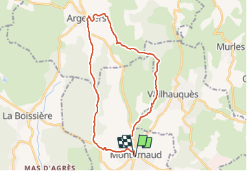

Length
17.1 km

Max alt
315 m

Uphill gradient
391 m
Km-Effort
22 km

Min alt
120 m

Downhill gradient
390 m
Boucle
Yes
Creation date :
2021-11-28 09:26:55.483
Updated on :
2021-11-28 14:19:56.632
3h54
Difficulty : Easy

FREE GPS app for hiking
 SityTrail
IGN / Geographical institutes
SityTrail Plus
The world is yours!
About
Trail Walking of 17.1 km to be discovered at Occitania, Hérault, Montarnaud. This trail is proposed by jeanfcd.
Description
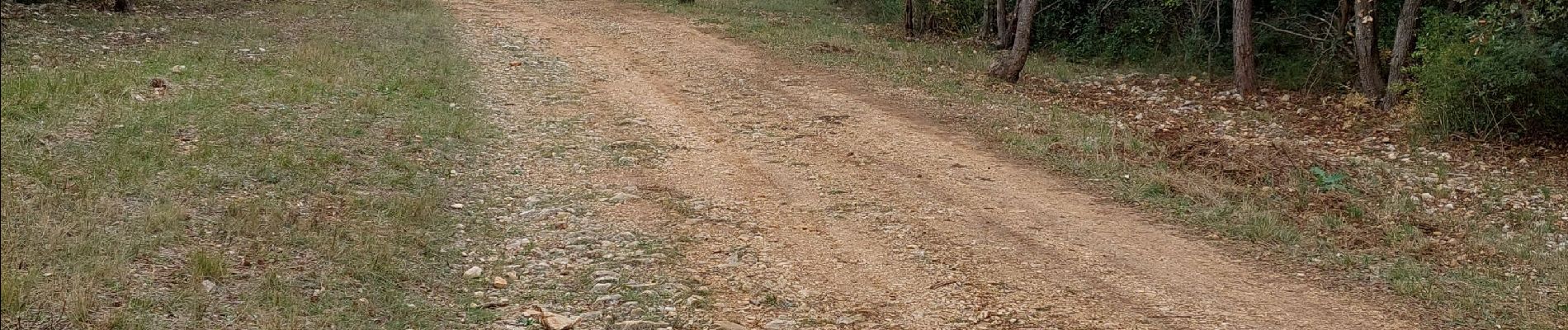
superbe randonnée avec table de pique-nique à argelliers
Photos


Positioning
Country:
France
Region :
Occitania
Department/Province :
Hérault
Municipality :
Montarnaud
Location:
Unknown
Start:(Dec)
Start:(UTM)
556292 ; 4833086 (31T) N.
Comments