


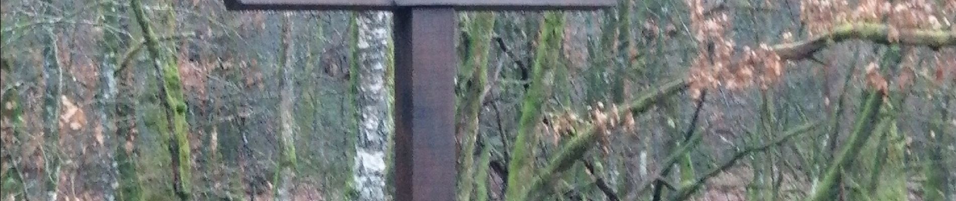
Etalle étang

mthseeuws
User
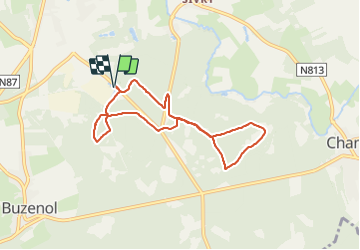

Length
6.7 km

Max alt
363 m

Uphill gradient
85 m
Km-Effort
7.8 km

Min alt
338 m

Downhill gradient
85 m
Boucle
Yes
Creation date :
2021-11-30 08:26:02.194
Updated on :
2021-11-30 10:09:10.356
1h42
Difficulty : Very easy

FREE GPS app for hiking
 SityTrail
IGN / Geographical institutes
SityTrail Plus
The world is yours!
About
Trail Nordic walking of 6.7 km to be discovered at Wallonia, Luxembourg, Étalle. This trail is proposed by mthseeuws.
Photos


Positioning
Country:
Belgium
Region :
Wallonia
Department/Province :
Luxembourg
Municipality :
Étalle
Location:
Etalle
Start:(Dec)
Start:(UTM)
688444 ; 5504060 (31U) N.
Comments