


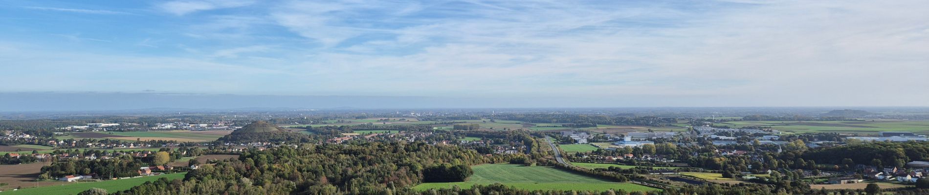
Terrils jumeaux des Falandes et du Pays à Part

Greg813
User
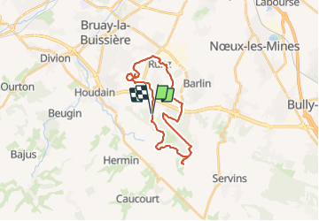


4h59
Difficulty : Medium

FREE GPS app for hiking
 SityTrail
IGN / Geographical institutes
SityTrail Plus
The world is yours!
About
Trail Walking of 22 km to be discovered at Hauts-de-France, Pas-de-Calais, Maisnil-lès-Ruitz. This trail is proposed by Greg813.
Description
Randonnée avec Mettons le Monde en Marche dans le parc d'Olhain qui vous mènera jusqu'au sommet des Terrils.
Pour d'autres photos, voir le site de l'association :
https://mmm-rando.org/olhain-et-les-terrils-jumeaux-2021/
https://mmm-rando.org/olhain-et-le-pays-a-part-2024/
Photos


Positioning
Comments