


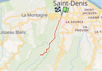
Rivière St Denis

lgmalherbe
User

Length
7.2 km

Max alt
213 m

Uphill gradient
426 m
Km-Effort
12.9 km

Min alt
30 m

Downhill gradient
426 m
Boucle
Yes
Creation date :
2021-12-06 04:53:18.789
Updated on :
2021-12-06 09:40:19.378
2h39
Difficulty : Very easy

FREE GPS app for hiking
 SityTrail
IGN / Geographical institutes
SityTrail Plus
The world is yours!
About
Trail Walking of 7.2 km to be discovered at Réunion, Unknown, Saint-Denis. This trail is proposed by lgmalherbe.
Positioning
Country:
France
Region :
Réunion
Department/Province :
Unknown
Municipality :
Saint-Denis
Location:
Unknown
Start:(Dec)
Start:(UTM)
338044 ; 7689547 (40K) S.
Comments