


Vérignon - La crête des chapelles

Clo0413
User
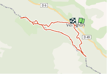

Length
10.6 km

Max alt
1074 m

Uphill gradient
342 m
Km-Effort
15.1 km

Min alt
851 m

Downhill gradient
341 m
Boucle
Yes
Creation date :
2021-12-06 08:59:33.211
Updated on :
2021-12-06 17:07:58.121
2h34
Difficulty : Easy

FREE GPS app for hiking
 SityTrail
IGN / Geographical institutes
SityTrail Plus
The world is yours!
About
Trail Walking of 10.6 km to be discovered at Provence-Alpes-Côte d'Azur, Var, Vérignon. This trail is proposed by Clo0413.
Positioning
Country:
France
Region :
Provence-Alpes-Côte d'Azur
Department/Province :
Var
Municipality :
Vérignon
Location:
Unknown
Start:(Dec)
Start:(UTM)
280250 ; 4836849 (32T) N.
Comments