


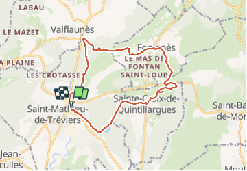
Saint Mathieu de Treviers-Fontanès-Ste Croix de Quintillargues

randotines
User GUIDE


4h30
Difficulty : Medium

FREE GPS app for hiking
 SityTrail
IGN / Geographical institutes
SityTrail Plus
The world is yours!
About
Trail Walking of 16.6 km to be discovered at Occitania, Hérault, Saint-Mathieu-de-Tréviers. This trail is proposed by randotines.
Description
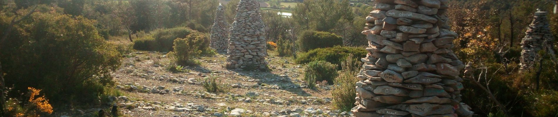
Belle balade dans la garrigue au départ de st Mathieu de Treviers dans l'Hérault en passant par Fontanès puis un curieux monument appelé "la Spirale" non loin de Ste Croix de Quintillargues où vous pourrez pique-niquer. Retour en passant par le lac de Cécélès vers St Mathieu de Tréviers.
Photos

Positioning
Comments