


alpilles chapelle saint gabriel

Dan30
User
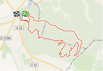

Length
13.1 km

Max alt
200 m

Uphill gradient
382 m
Km-Effort
18.2 km

Min alt
12 m

Downhill gradient
387 m
Boucle
Yes
Creation date :
2021-12-07 09:08:05.102
Updated on :
2021-12-07 14:24:32.435
3h26
Difficulty : Easy

FREE GPS app for hiking
 SityTrail
IGN / Geographical institutes
SityTrail Plus
The world is yours!
About
Trail Walking of 13.1 km to be discovered at Provence-Alpes-Côte d'Azur, Bouches-du-Rhône, Tarascon. This trail is proposed by Dan30.
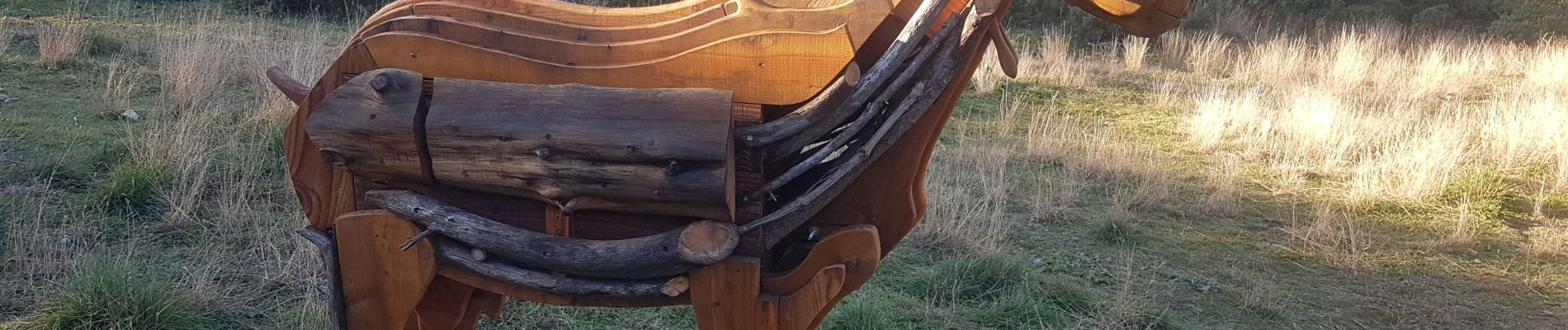
Photos


Positioning
Country:
France
Region :
Provence-Alpes-Côte d'Azur
Department/Province :
Bouches-du-Rhône
Municipality :
Tarascon
Location:
Unknown
Start:(Dec)
Start:(UTM)
636412 ; 4847344 (31T) N.
Comments