


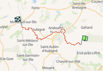

11.2 km | 12.5 km-effort

User


FREE GPS app for hiking
 SityTrail
IGN / Geographical institutes
SityTrail World
The world is yours!
Trail Walking of 19 km to be discovered at Brittany, Ille-et-Vilaine, Ercé-près-Liffré. This trail is proposed by patrickdanilo.
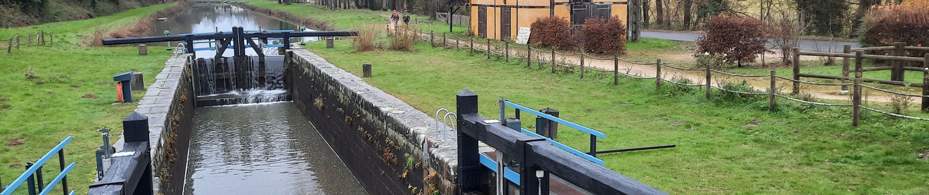
GR®37
Cœur de la Bretagne
Du Mont-Saint-Michel (Manche) Normandie
à Camaret-sur-Mer (Finistère) Bretagne
780km


On foot

Walking

Walking
Walking
On foot
On foot
On foot
On foot
On foot