


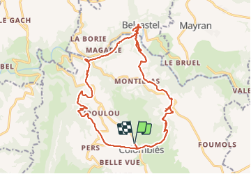
Colombies Belcastel

bouscaillou
User

Length
22 km

Max alt
720 m

Uphill gradient
659 m
Km-Effort
31 km

Min alt
409 m

Downhill gradient
661 m
Boucle
Yes
Creation date :
2021-12-13 09:52:20.099
Updated on :
2021-12-13 16:11:48.219
6h18
Difficulty : Very difficult

FREE GPS app for hiking
 SityTrail
IGN / Geographical institutes
SityTrail Plus
The world is yours!
About
Trail Walking of 22 km to be discovered at Occitania, Aveyron, Colombiès. This trail is proposed by bouscaillou.
Positioning
Country:
France
Region :
Occitania
Department/Province :
Aveyron
Municipality :
Colombiès
Location:
Unknown
Start:(Dec)
Start:(UTM)
446903 ; 4910594 (31T) N.
Comments