


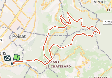
Eybens col du Gourlu

MICDURAND
User

Length
15 km

Max alt
758 m

Uphill gradient
727 m
Km-Effort
25 km

Min alt
255 m

Downhill gradient
736 m
Boucle
Yes
Creation date :
2021-12-14 08:20:13.097
Updated on :
2021-12-14 14:17:55.799
4h13
Difficulty : Very difficult

FREE GPS app for hiking
 SityTrail
IGN / Geographical institutes
SityTrail Plus
The world is yours!
About
Trail Walking of 15 km to be discovered at Auvergne-Rhône-Alpes, Isère, Eybens. This trail is proposed by MICDURAND.
Positioning
Country:
France
Region :
Auvergne-Rhône-Alpes
Department/Province :
Isère
Municipality :
Eybens
Location:
Unknown
Start:(Dec)
Start:(UTM)
716653 ; 5003073 (31T) N.
Comments