


Eybens

lionelnottat
User
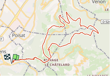

Length
15.3 km

Max alt
760 m

Uphill gradient
744 m
Km-Effort
25 km

Min alt
255 m

Downhill gradient
742 m
Boucle
Yes
Creation date :
2021-12-14 08:13:37.207
Updated on :
2021-12-14 14:19:02.069
4h13
Difficulty : Very difficult

FREE GPS app for hiking
 SityTrail
IGN / Geographical institutes
SityTrail Plus
The world is yours!
About
Trail Walking of 15.3 km to be discovered at Auvergne-Rhône-Alpes, Isère, Eybens. This trail is proposed by lionelnottat.
Positioning
Country:
France
Region :
Auvergne-Rhône-Alpes
Department/Province :
Isère
Municipality :
Eybens
Location:
Unknown
Start:(Dec)
Start:(UTM)
716629 ; 5003020 (31T) N.
Comments