


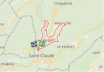

16.3 km | 31 km-effort


User


FREE GPS app for hiking
 SityTrail
IGN / Geographical institutes
SityTrail World
The world is yours!
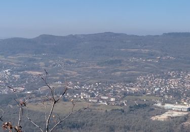
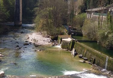
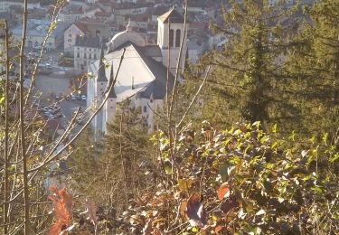
Trail Walking of 12.6 km to be discovered at Bourgogne-Franche-Comté, Jura, Saint-Claude. This trail is proposed by Gafanhao.
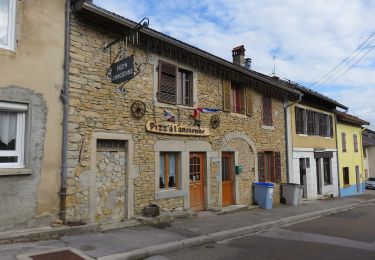
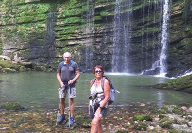
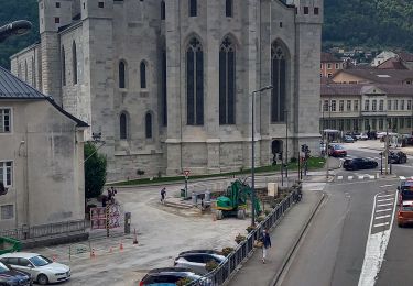
De St-Claude vers la Gare, direction Champs de Bienne, cascade de la Vouivre, Vaucluse, revenir par le Très Bayard jusqu'au Pont de Pierre et Avenue de la Gare


Walking

Running
Walking
Walking
Walking
On foot
Walking
Walking
Walking