


Rocher du Baconnet par le col du Serpaton

psesjs
User
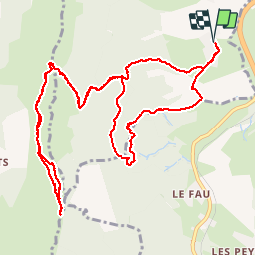

Length
15.4 km

Max alt
1795 m

Uphill gradient
890 m
Km-Effort
27 km

Min alt
936 m

Downhill gradient
890 m
Boucle
Yes
Creation date :
2014-12-10 00:00:00.0
Updated on :
2014-12-10 00:00:00.0
5h26
Difficulty : Medium

FREE GPS app for hiking
 SityTrail
IGN / Geographical institutes
SityTrail Plus
The world is yours!
About
Trail Walking of 15.4 km to be discovered at Auvergne-Rhône-Alpes, Isère, Saint-Paul-lès-Monestier. This trail is proposed by psesjs.
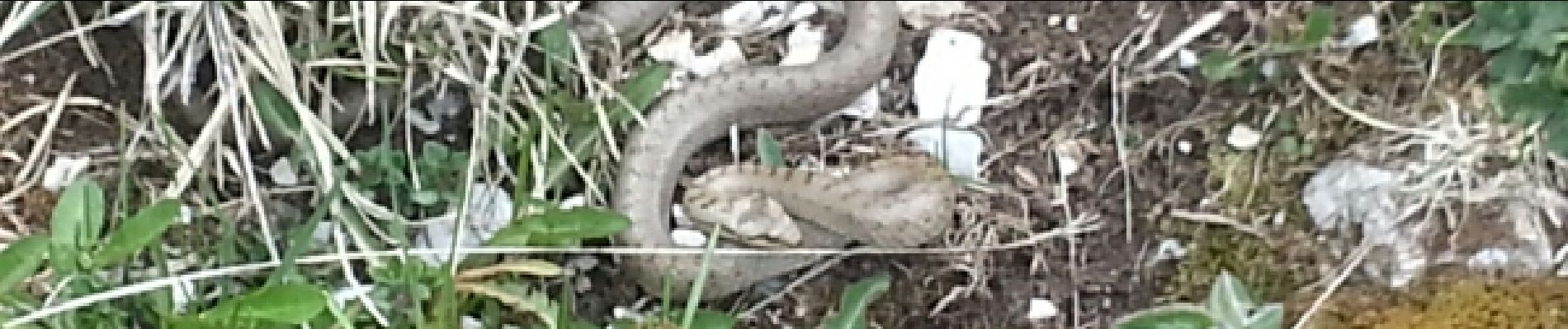
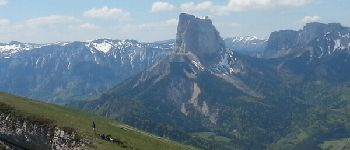
Photos


Positioning
Country:
France
Region :
Auvergne-Rhône-Alpes
Department/Province :
Isère
Municipality :
Saint-Paul-lès-Monestier
Location:
Unknown
Start:(Dec)
Start:(UTM)
706694 ; 4976590 (31T) N.
Comments