


Balade à la Croix-Scaille - Les Fanges de l'Abîme

Desrumaux
User GUIDE
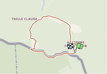

Length
6.6 km

Max alt
513 m

Uphill gradient
157 m
Km-Effort
8.7 km

Min alt
384 m

Downhill gradient
155 m
Boucle
Yes
Creation date :
2021-12-18 16:45:44.764
Updated on :
2021-12-18 19:46:00.909
1h58
Difficulty : Medium

FREE GPS app for hiking
 SityTrail
IGN / Geographical institutes
SityTrail Plus
The world is yours!
About
Trail Walking of 6.6 km to be discovered at Wallonia, Namur, Gedinne. This trail is proposed by Desrumaux.
Description
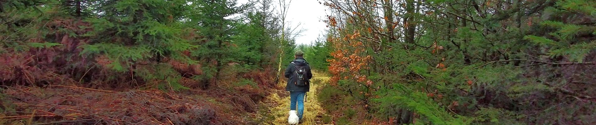
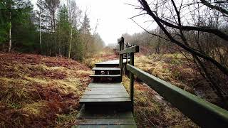
La “Fange de l’Abîme” est une réserve naturelle située sur le plateau de la Croix-Scaille, tout près de la « Tour du Millénaire », dans l'entité de Gedinne.
Photos


Positioning
Country:
Belgium
Region :
Wallonia
Department/Province :
Namur
Municipality :
Gedinne
Location:
Unknown
Start:(Dec)
Start:(UTM)
632403 ; 5534811 (31U) N.
Comments
Merci beaucoup pour tous vos partages de randonnée, vos jolies photos et votre montage vidéo ! 🙏🏻