


Le Hohwald

apa
User
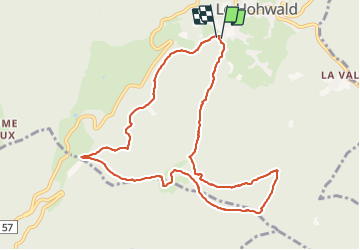

Length
9.8 km

Max alt
863 m

Uphill gradient
338 m
Km-Effort
14.3 km

Min alt
632 m

Downhill gradient
329 m
Boucle
Yes
Creation date :
2021-12-21 08:39:16.177
Updated on :
2021-12-21 12:12:47.469
3h02
Difficulty : Easy

FREE GPS app for hiking
 SityTrail
IGN / Geographical institutes
SityTrail Plus
The world is yours!
About
Trail Walking of 9.8 km to be discovered at Grand Est, Bas-Rhin, Le Hohwald. This trail is proposed by apa.
Description
Rando cool
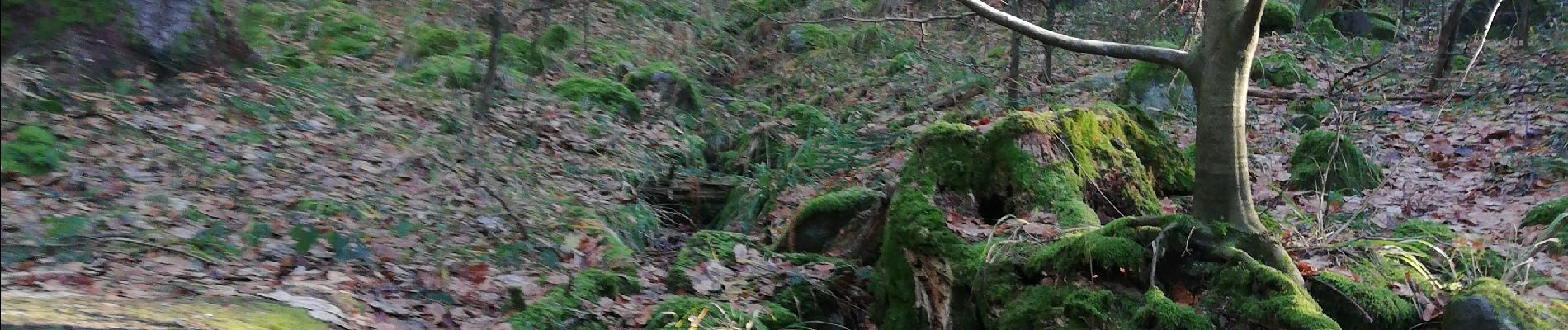
Photos


Positioning
Country:
France
Region :
Grand Est
Department/Province :
Bas-Rhin
Municipality :
Le Hohwald
Location:
Unknown
Start:(Dec)
Start:(UTM)
375707 ; 5362178 (32U) N.
Comments