


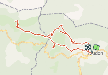
Baisse des Colettes et Mt Brune de Toudon

GrouGary
User


4h39
Difficulty : Medium

FREE GPS app for hiking
 SityTrail
IGN / Geographical institutes
SityTrail Plus
The world is yours!
About
Trail Walking of 13.3 km to be discovered at Provence-Alpes-Côte d'Azur, Maritime Alps, Toudon. This trail is proposed by GrouGary.
Description
Beau circuit au départ de Toudon avec un A/R pour monter au Mt Brune. Vue à 360° sur les crêtes enneigées du Mercantour, la mer, le Cheiron.
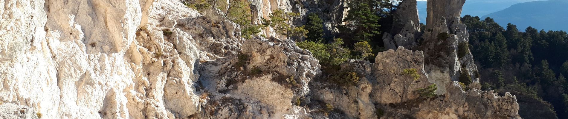
Le retour sur Toudon, après la Baisse des Colettes, est impressionnant sous les falaises.
Photos


Positioning
Comments