


Saint-Pierre-des-Corps - le Cher GR41 Montlouis-sur-Loire - 19km 120m 4h00 - 2007 02 04

Orcal37
User GUIDE
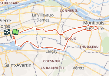

Length
19 km

Max alt
81 m

Uphill gradient
119 m
Km-Effort
21 km

Min alt
44 m

Downhill gradient
118 m
Boucle
Yes
Creation date :
2021-12-27 10:55:31.87
Updated on :
2022-09-13 17:19:16.494
4h00
Difficulty : Easy

FREE GPS app for hiking
 SityTrail
IGN / Geographical institutes
SityTrail Plus
The world is yours!
About
Trail Walking of 19 km to be discovered at Centre-Loire Valley, Indre-et-Loire, Saint-Pierre-des-Corps. This trail is proposed by Orcal37.
Description
Saint-Pierre-des-Corps - le Cher GR41 Montlouis-sur-Loire - 19km 120m 4h00 - 2007 02 04
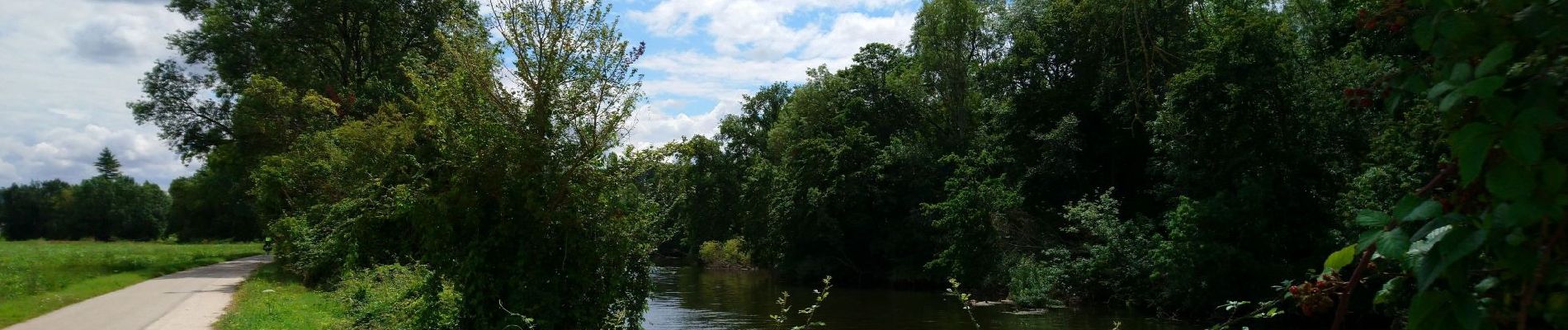
Photos

Positioning
Country:
France
Region :
Centre-Loire Valley
Department/Province :
Indre-et-Loire
Municipality :
Saint-Pierre-des-Corps
Location:
Unknown
Start:(Dec)
Start:(UTM)
328847 ; 5249667 (31T) N.
Comments