


Mourre d'Agnis

ETMU5496
User


Length
17.9 km

Max alt
910 m

Uphill gradient
682 m
Km-Effort
27 km

Min alt
386 m

Downhill gradient
681 m
Boucle
Yes
Creation date :
2021-12-19 07:44:38.0
Updated on :
2021-12-30 18:22:23.279
6h19
Difficulty : Medium

FREE GPS app for hiking
 SityTrail
IGN / Geographical institutes
SityTrail Plus
The world is yours!
About
Trail Walking of 17.9 km to be discovered at Provence-Alpes-Côte d'Azur, Var, Mazaugues. This trail is proposed by ETMU5496.
Description
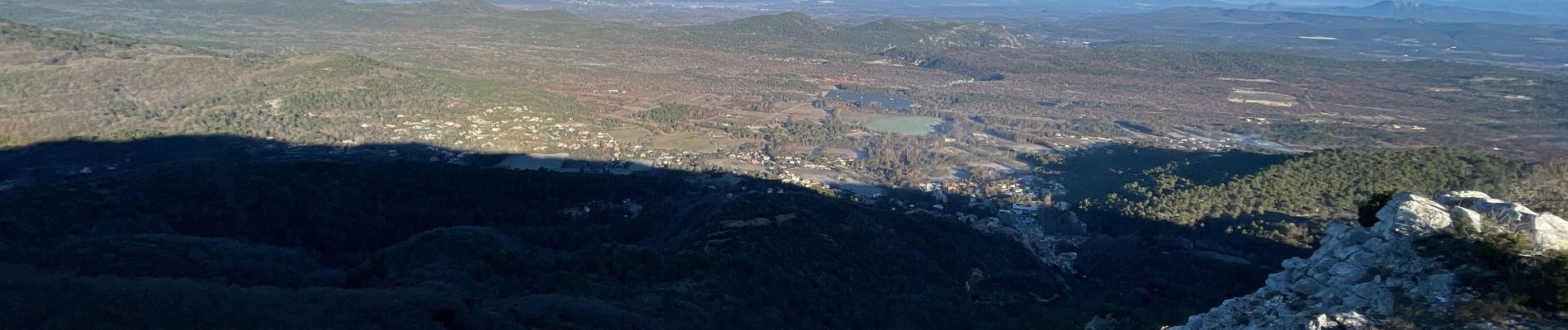
Au départ de Mazaugues, jolie boucle sur et autour des crêtes
Photos


Positioning
Country:
France
Region :
Provence-Alpes-Côte d'Azur
Department/Province :
Var
Municipality :
Mazaugues
Location:
Unknown
Start:(Dec)
Start:(UTM)
736866 ; 4803656 (31T) N.
Comments