


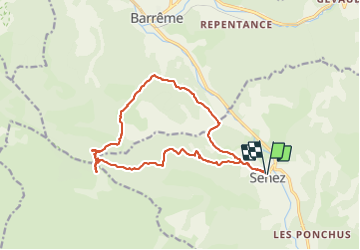

19.5 km | 30 km-effort


FREE GPS app for hiking
 SityTrail
IGN / Geographical institutes
SityTrail World
The world is yours!
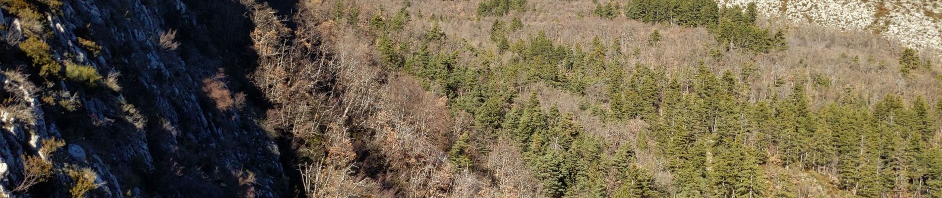
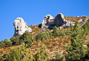
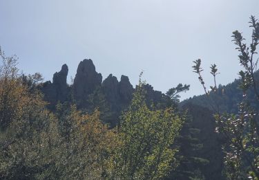
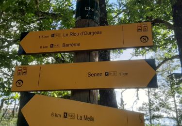
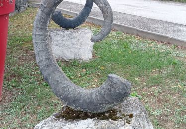
Trail Walking of 16.9 km to be discovered at Provence-Alpes-Côte d'Azur, Alpes-de-Haute-Provence, Senez. This trail is proposed by jean marie tessonneau.


Walking
Walking
Walking

On foot
Mountain bike

Equestrian
Walking
Walking
Walking