


SISTERON. Bois de la Bûche N

RobinMicheline
User GUIDE
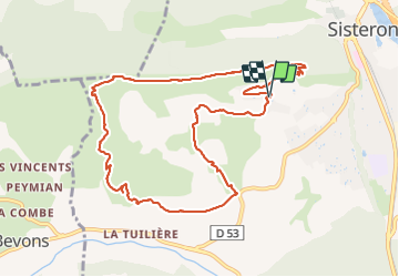

Length
11.1 km

Max alt
875 m

Uphill gradient
416 m
Km-Effort
16.7 km

Min alt
500 m

Downhill gradient
415 m
Boucle
Yes
Creation date :
2022-01-01 12:26:33.697
Updated on :
2022-01-01 16:57:48.538
4h00
Difficulty : Medium

FREE GPS app for hiking
 SityTrail
IGN / Geographical institutes
SityTrail Plus
The world is yours!
About
Trail Walking of 11.1 km to be discovered at Provence-Alpes-Côte d'Azur, Alpes-de-Haute-Provence, Sisteron. This trail is proposed by RobinMicheline.
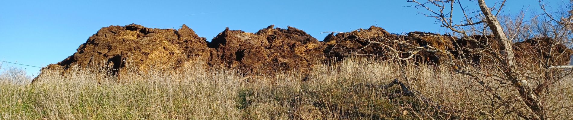
Photos


Positioning
Country:
France
Region :
Provence-Alpes-Côte d'Azur
Department/Province :
Alpes-de-Haute-Provence
Municipality :
Sisteron
Location:
Unknown
Start:(Dec)
Start:(UTM)
734158 ; 4897019 (31T) N.
Comments