


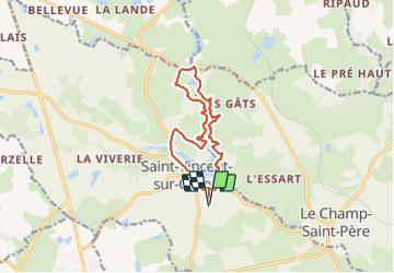

28 km | 31 km-effort


User


FREE GPS app for hiking
 SityTrail
IGN / Geographical institutes
SityTrail World
The world is yours!
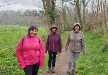
Trail Walking of 12 km to be discovered at Pays de la Loire, Vendée, Saint-Vincent-sur-Graon. This trail is proposed by Roulland.


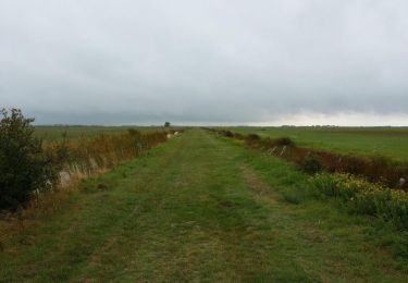
Walking

Walking
Walking
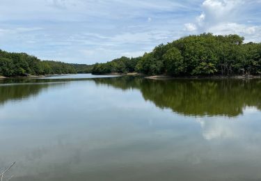
Walking
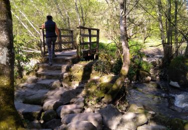
Walking
Walking

Mountain bike

Mountain bike

Walking