


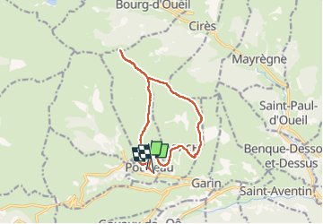

9.9 km | 18.4 km-effort


User


FREE GPS app for hiking
 SityTrail
IGN / Geographical institutes
SityTrail World
The world is yours!
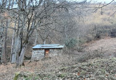
Trail Walking of 13.2 km to be discovered at Occitania, Haute-Garonne, Poubeau. This trail is proposed by chrisgps.
les deux premières montées ne laissent pas indifférents.....!


Walking

Walking
Walking

Walking
Walking
Walking

Walking

On foot
Walking