


Sentier Bayard

toffee
User
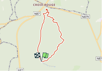

Length
6.3 km

Max alt
383 m

Uphill gradient
195 m
Km-Effort
8.9 km

Min alt
266 m

Downhill gradient
195 m
Boucle
Yes
Creation date :
2022-01-07 08:45:26.723
Updated on :
2022-04-26 06:46:37.954
1h58
Difficulty : Medium

FREE GPS app for hiking
 SityTrail
IGN / Geographical institutes
SityTrail Plus
The world is yours!
About
Trail Walking of 6.3 km to be discovered at Wallonia, Luxembourg, Virton. This trail is proposed by toffee.
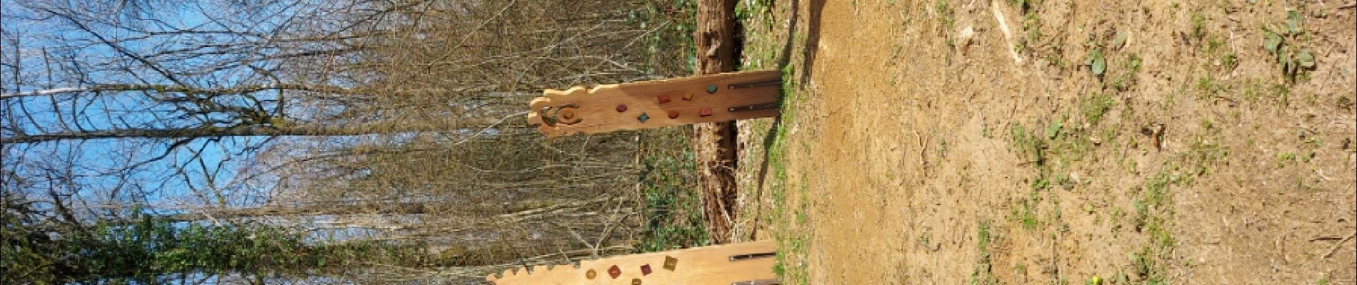
Photos


Positioning
Country:
Belgium
Region :
Wallonia
Department/Province :
Luxembourg
Municipality :
Virton
Location:
Virton
Start:(Dec)
Start:(UTM)
684068 ; 5497611 (31U) N.
Comments