


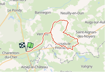

14.4 km | 15.1 km-effort

User


FREE GPS app for hiking
 SityTrail
IGN / Geographical institutes
SityTrail World
The world is yours!
Trail Mountain bike of 33 km to be discovered at Centre-Loire Valley, Cher, Charenton-du-Cher. This trail is proposed by CamilleDusart.
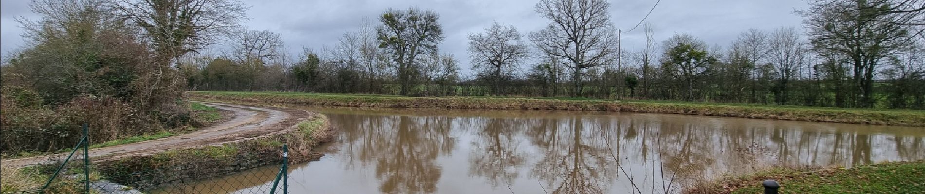
De Fontblisse à l'étang de Goule.
A la recherche des vestiges de la rigole qui alimentait le Canal du Berry pour soutenir le débit d'étiage.


Walking
Walking