


Abbaye d'Aulne ses bois_Leernes_Aulne_01

denissculier
User
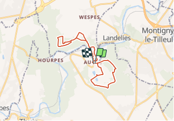

Length
13.3 km

Max alt
196 m

Uphill gradient
263 m
Km-Effort
16.8 km

Min alt
105 m

Downhill gradient
260 m
Boucle
Yes
Creation date :
2022-01-10 16:21:02.873
Updated on :
2022-01-14 07:15:38.893
3h37
Difficulty : Difficult

FREE GPS app for hiking
 SityTrail
IGN / Geographical institutes
SityTrail Plus
The world is yours!
About
Trail Nordic walking of 13.3 km to be discovered at Wallonia, Hainaut, Thuin. This trail is proposed by denissculier.
Positioning
Country:
Belgium
Region :
Wallonia
Department/Province :
Hainaut
Municipality :
Thuin
Location:
Unknown
Start:(Dec)
Start:(UTM)
594883 ; 5580166 (31U) N.
Comments