


vaihauques grabel

jeanfcd
User
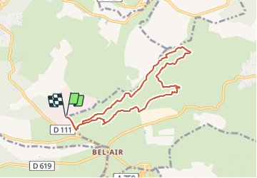

Length
8.4 km

Max alt
157 m

Uphill gradient
126 m
Km-Effort
10.1 km

Min alt
87 m

Downhill gradient
126 m
Boucle
Yes
Creation date :
2022-01-12 12:55:52.949
Updated on :
2022-01-12 14:52:35.385
1h49
Difficulty : Easy

FREE GPS app for hiking
 SityTrail
IGN / Geographical institutes
SityTrail Plus
The world is yours!
About
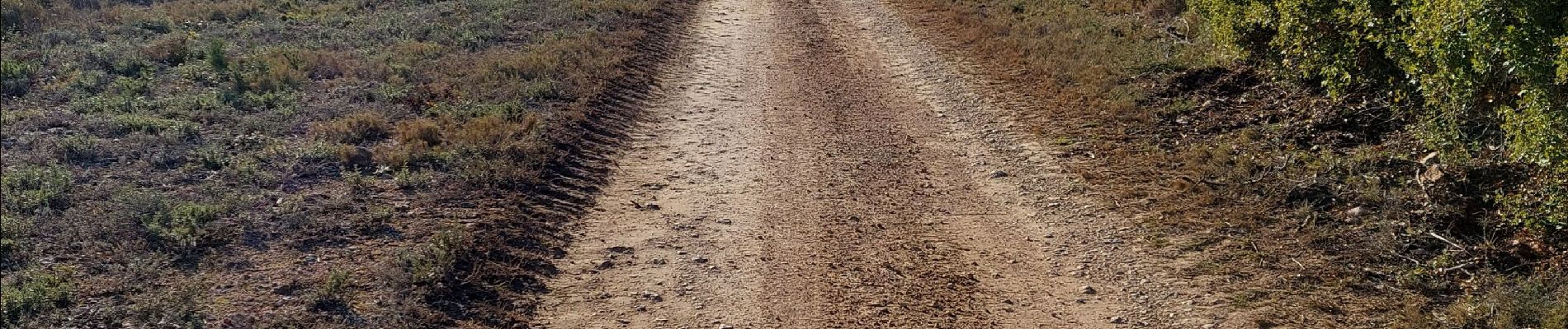
Trail Walking of 8.4 km to be discovered at Occitania, Hérault, Vailhauquès. This trail is proposed by jeanfcd.
Photos


Positioning
Country:
France
Region :
Occitania
Department/Province :
Hérault
Municipality :
Vailhauquès
Location:
Unknown
Start:(Dec)
Start:(UTM)
559648 ; 4832702 (31T) N.
Comments