


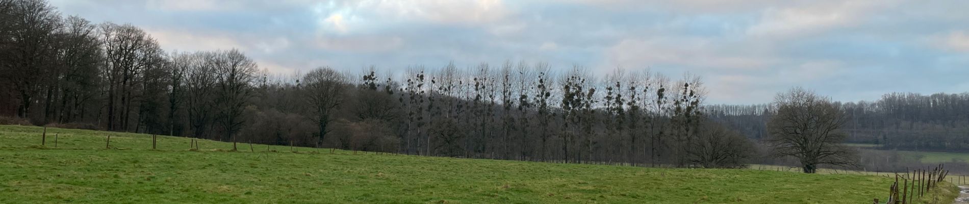
Étang des nénuphars

francoisecarlier
User


Length
6.2 km

Max alt
383 m

Uphill gradient
150 m
Km-Effort
8.2 km

Min alt
282 m

Downhill gradient
150 m
Boucle
Yes
Creation date :
2022-01-12 14:31:37.0
Updated on :
2022-01-12 15:52:06.841
1h20
Difficulty : Very easy

FREE GPS app for hiking
 SityTrail
IGN / Geographical institutes
SityTrail Plus
The world is yours!
About
Trail Walking of 6.2 km to be discovered at Wallonia, Luxembourg, Messancy. This trail is proposed by francoisecarlier.
Photos


Positioning
Country:
Belgium
Region :
Wallonia
Department/Province :
Luxembourg
Municipality :
Messancy
Location:
Unknown
Start:(Dec)
Start:(UTM)
703299 ; 5497832 (31U) N.
Comments