


9.6 km | 14 km-effort


User


FREE GPS app for hiking
 SityTrail
IGN / Geographical institutes
SityTrail World
The world is yours!
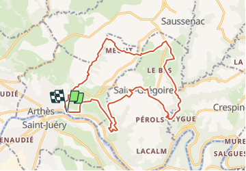
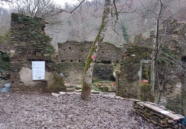
Trail On foot of 19.8 km to be discovered at Occitania, Tarn, Arthès. This trail is proposed by tercla.
Walking
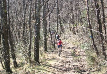
Mountain bike

Road bike

Walking
Walking
Walking
Un beau parcours, agréable sentiers au bord des ruisseaux. Nous avons rencontré un souci après Rudelle. Nous avons bifurquer à gauche sur le chemin, ensuite aucune trace de sentier dans le champ (herbes hautes)sur la droite pour descendre dans le vallon. Merci Audier.