


20220116 Cap Taillat

Sugg
User
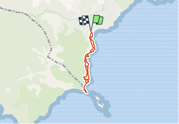

Length
5.4 km

Max alt
38 m

Uphill gradient
99 m
Km-Effort
6.7 km

Min alt
0 m

Downhill gradient
99 m
Boucle
Yes
Creation date :
2022-01-16 09:57:09.146
Updated on :
2022-01-16 14:09:46.47
4h12
Difficulty : Easy

FREE GPS app for hiking
 SityTrail
IGN / Geographical institutes
SityTrail Plus
The world is yours!
About
Trail Walking of 5.4 km to be discovered at Provence-Alpes-Côte d'Azur, Var, Ramatuelle. This trail is proposed by Sugg.
Description
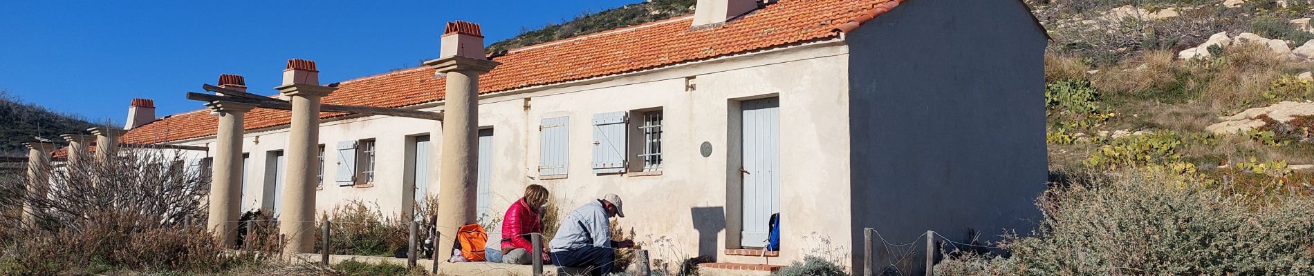
balade cool bord de mer super meteo
Photos

Positioning
Country:
France
Region :
Provence-Alpes-Côte d'Azur
Department/Province :
Var
Municipality :
Ramatuelle
Location:
Unknown
Start:(Dec)
Start:(UTM)
308346 ; 4784355 (32T) N.
Comments