


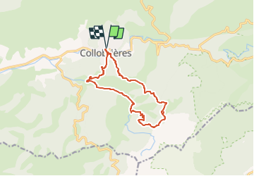
SityTrail - Collobriéres - Menhirs de Lambert

affinetataille
User GUIDE

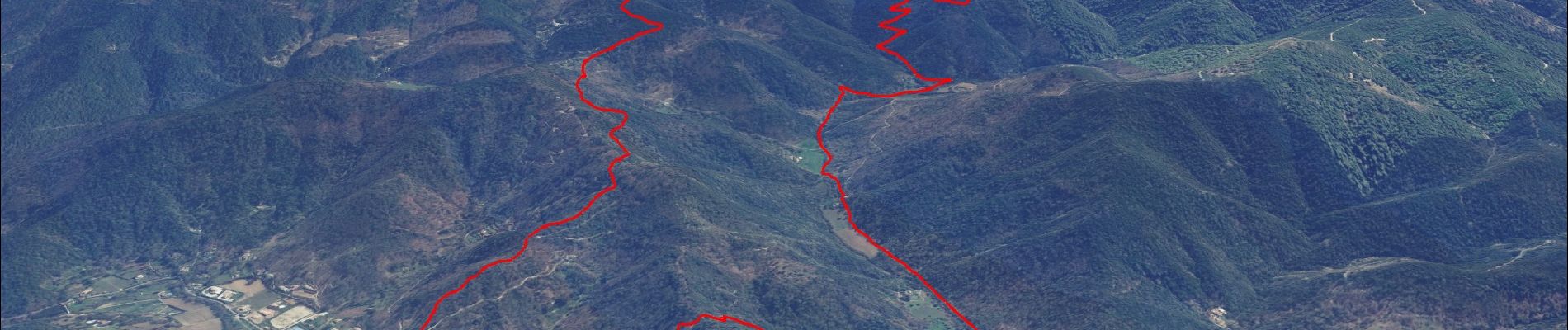
Length
12.8 km

Max alt
524 m

Uphill gradient
546 m
Km-Effort
20 km

Min alt
152 m

Downhill gradient
546 m
Boucle
Yes
Creation date :
2022-01-18 13:01:48.867
Updated on :
2022-06-03 17:59:24.824
6h00
Difficulty : Medium

FREE GPS app for hiking
 SityTrail
IGN / Geographical institutes
SityTrail Plus
The world is yours!
About
Trail Walking of 12.8 km to be discovered at Provence-Alpes-Côte d'Azur, Var, Collobrières. This trail is proposed by affinetataille.
Photos


27 photos in total. Please click on a photo to see them all in the gallery.
Positioning
Country:
France
Region :
Provence-Alpes-Côte d'Azur
Department/Province :
Var
Municipality :
Collobrières
Location:
Unknown
Start:(Dec)
Start:(UTM)
281553 ; 4790868 (32T) N.
Comments