


Verdilly ADR du 18-01-2022

VANDERPUTTENMi
User GUIDE


Length
8.5 km

Max alt
223 m

Uphill gradient
158 m
Km-Effort
10.6 km

Min alt
93 m

Downhill gradient
152 m
Boucle
Yes
Creation date :
2022-01-18 12:53:03.623
Updated on :
2022-01-18 18:24:37.424
1h55
Difficulty : Medium

FREE GPS app for hiking
 SityTrail
IGN / Geographical institutes
SityTrail Plus
The world is yours!
About
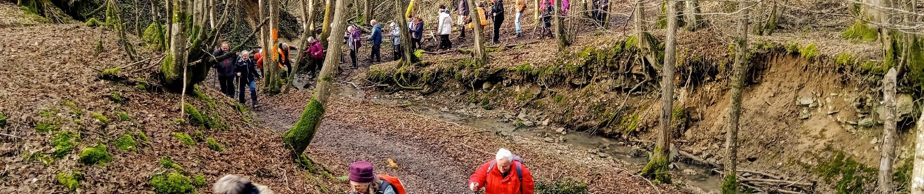
Trail Walking of 8.5 km to be discovered at Hauts-de-France, Aisne, Verdilly. This trail is proposed by VANDERPUTTENMi.
Photos

Positioning
Country:
France
Region :
Hauts-de-France
Department/Province :
Aisne
Municipality :
Verdilly
Location:
Unknown
Start:(Dec)
Start:(UTM)
530986 ; 5436050 (31U) N.
Comments