


sortie 18 janvier 22

gilbertdu60
User
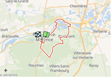

Length
23 km

Max alt
148 m

Uphill gradient
250 m
Km-Effort
27 km

Min alt
25 m

Downhill gradient
251 m
Boucle
Yes
Creation date :
2022-01-18 13:40:21.564
Updated on :
2022-01-19 20:09:58.571
2h04
Difficulty : Easy

FREE GPS app for hiking
 SityTrail
IGN / Geographical institutes
SityTrail Plus
The world is yours!
About
Trail Electric bike of 23 km to be discovered at Hauts-de-France, Oise, Pont-Sainte-Maxence. This trail is proposed by gilbertdu60.
Description
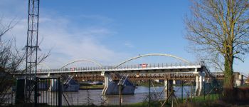
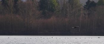
voie verte, Londres Paris par les etangs et la forêt
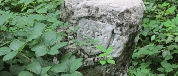
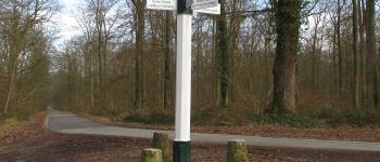
Photos


Positioning
Country:
France
Region :
Hauts-de-France
Department/Province :
Oise
Municipality :
Pont-Sainte-Maxence
Location:
Unknown
Start:(Dec)
Start:(UTM)
470886 ; 5460255 (31U) N.
Comments