


Flassans sur Issole-19-01-22

Christiancordin
User
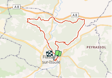

Length
20 km

Max alt
318 m

Uphill gradient
367 m
Km-Effort
25 km

Min alt
204 m

Downhill gradient
367 m
Boucle
Yes
Creation date :
2022-01-19 07:52:38.072
Updated on :
2022-01-20 17:32:41.295
5h25
Difficulty : Medium

FREE GPS app for hiking
 SityTrail
IGN / Geographical institutes
SityTrail Plus
The world is yours!
About
Trail Walking of 20 km to be discovered at Provence-Alpes-Côte d'Azur, Var, Flassans-sur-Issole. This trail is proposed by Christiancordin.
Description
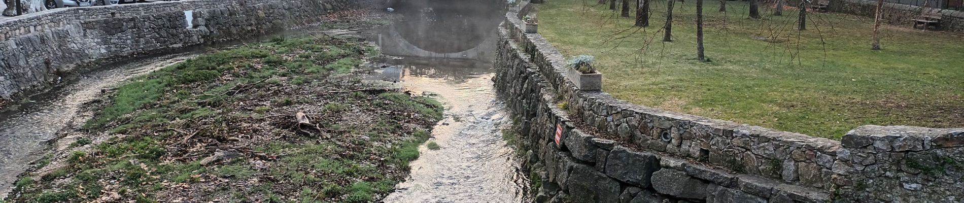
Flassans sur Issole-la grande bastide-ST André-pont ancien-château de Pontevès-chapelle St Vincent
Photos


Positioning
Country:
France
Region :
Provence-Alpes-Côte d'Azur
Department/Province :
Var
Municipality :
Flassans-sur-Issole
Location:
Unknown
Start:(Dec)
Start:(UTM)
274500 ; 4805329 (32T) N.
Comments