


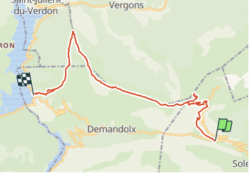

15.7 km | 25 km-effort

User


FREE GPS app for hiking
 SityTrail
IGN / Geographical institutes
SityTrail World
The world is yours!
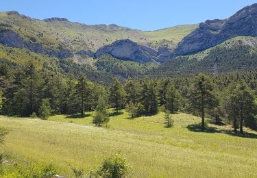
Trail Walking of 17 km to be discovered at Provence-Alpes-Côte d'Azur, Alpes-de-Haute-Provence, Soleilhas. This trail is proposed by Marchopier.
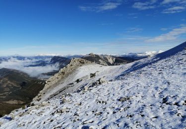
Du Col saint-Barnabé, montée au sommet de la Gourre (1860m) puis revenir sur la Crête du Crémon jusqu'au sommet de Crémon (1760m).
Retour en descente en suivant la crête par le PR, bifurquer à gauche direction Col de Demandolx. Descente au hameau de Ville puis jusqu'à la voie communale de Demandolx (Les Crotes)


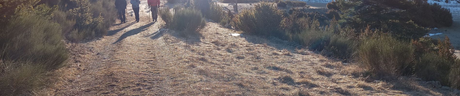
Walking

Mountain bike

Mountain bike

Walking

On foot
Walking
Walking
Walking
Walking