


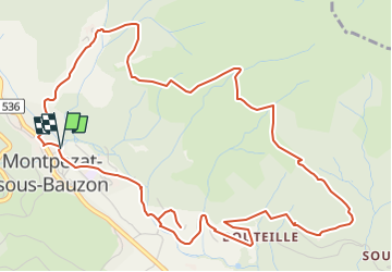

11.5 km | 17.1 km-effort

User


FREE GPS app for hiking
 SityTrail
IGN / Geographical institutes
SityTrail World
The world is yours!
Trail Walking of 7.3 km to be discovered at Auvergne-Rhône-Alpes, Ardèche, Montpezat-sous-Bauzon. This trail is proposed by Maryma.
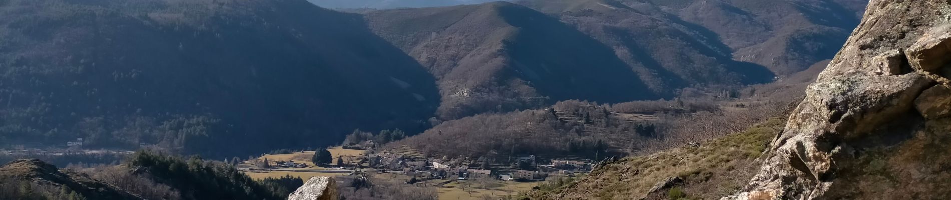
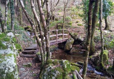
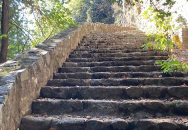
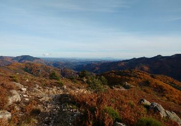
Montée sur goudron jusqu'au hameau de Chalias. De belles maisons en pierres restaurées. A la sortie, on trouve le chemin, parfois empierré, parfois sur une coulée de lave, bordé de faysses plantées de chataigners. De magnifiques vues sur Montpezat et la montagne ardéchoises. Retour par le hameau des Plantades. Là aussi maisons en cours de restauration. Enfin on termine par le calvaire et prieuré de Clastres et l'église deNotre Dame de Prévenchères.
Une boucle de toute beauté et très agréable!


Walking
Walking
Walking
Walking
Walking

Walking
Walking
Walking
Walking