


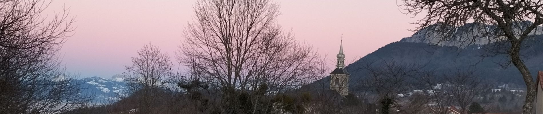
La Chapelle d'Abondance

reneperrin
User

Length
8.5 km

Max alt
968 m

Uphill gradient
187 m
Km-Effort
11.1 km

Min alt
800 m

Downhill gradient
198 m
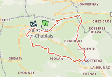
Boucle
Yes
Creation date :
2022-01-25 14:43:02.96
Updated on :
2022-01-25 17:23:06.621
2h00
Difficulty : Easy

FREE GPS app for hiking
 SityTrail
IGN / Geographical institutes
SityTrail Plus
The world is yours!
About
Trail Walking of 8.5 km to be discovered at Auvergne-Rhône-Alpes, Upper Savoy, Saint-Paul-en-Chablais. This trail is proposed by reneperrin.
Description
boucle
Photos


Positioning
Country:
France
Region :
Auvergne-Rhône-Alpes
Department/Province :
Upper Savoy
Municipality :
Saint-Paul-en-Chablais
Location:
Unknown
Start:(Dec)
Start:(UTM)
317698 ; 5138958 (32T) N.
Comments